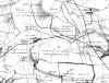
 Great Northern Coal Field - 1843(Hartlepool District)
Some of these maps are scanned from copies of copies so may not be as good a quality as I would have liked. Am in the process of tracing over some maps because of the poor quality of the scanned files.
Great Northern Coal Field - 1843(Hartlepool District)
By John Thomas William Bell
This was a coloured map and I had to have it photocopied and the result is the scanned image shown. It shows who owned Wheatley Hill and the surrounding areas. Most of the land we know as Wheatley Hill was owned by Thomas Wilkinson Esq or one of his relatives.
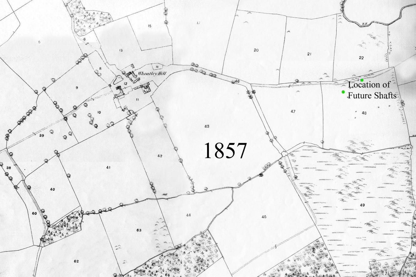
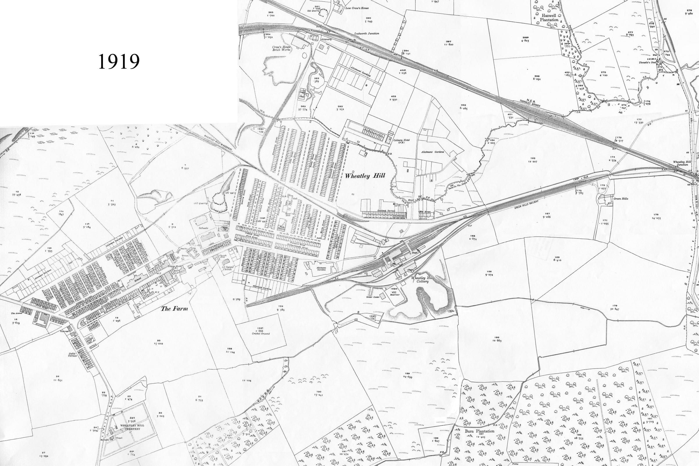
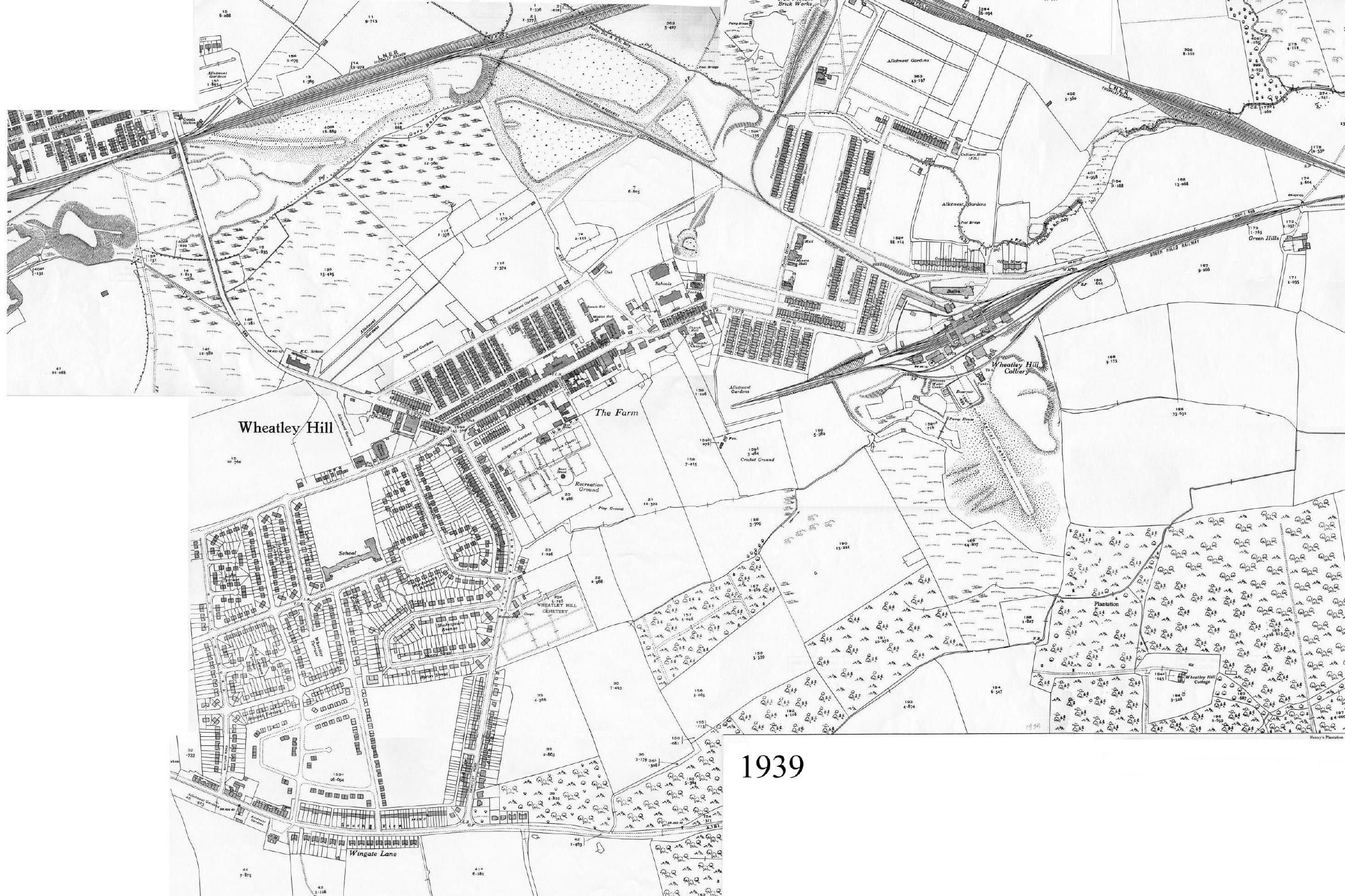
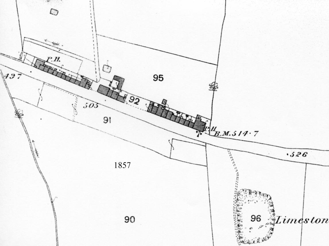
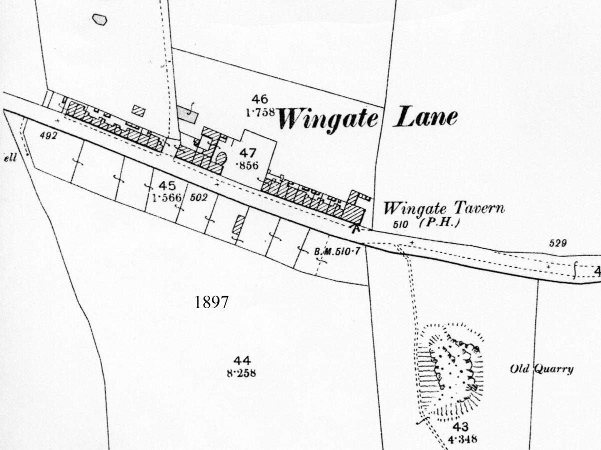
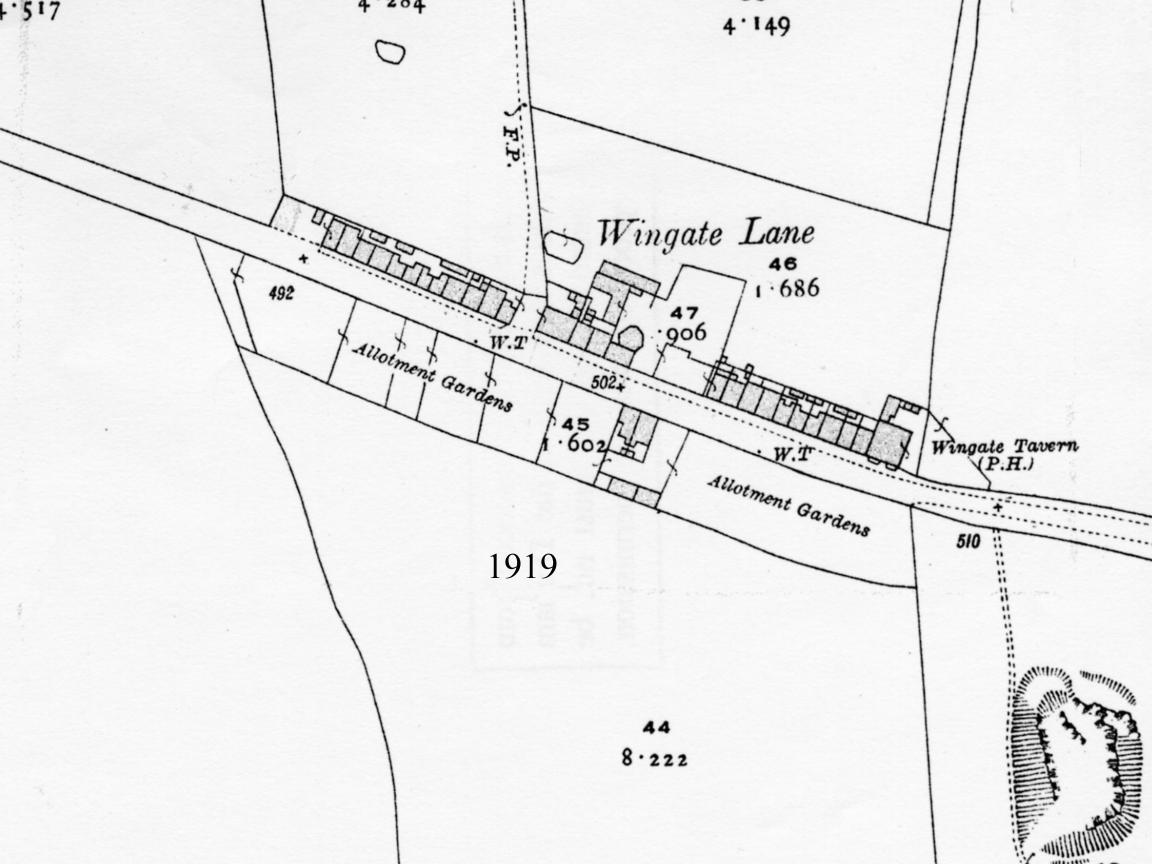
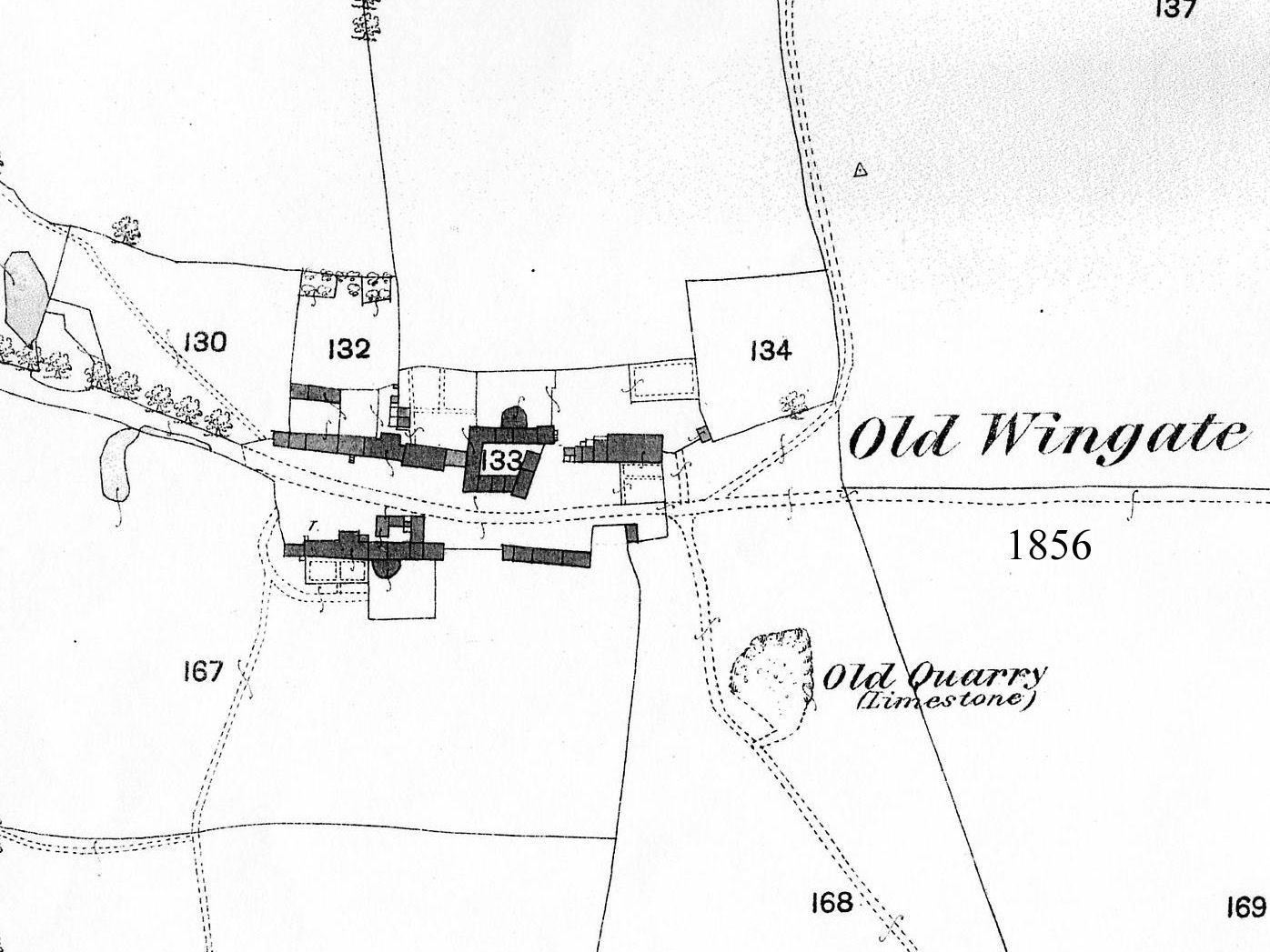
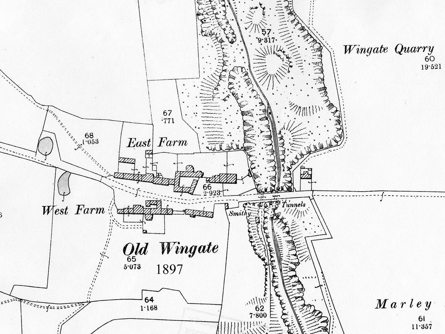
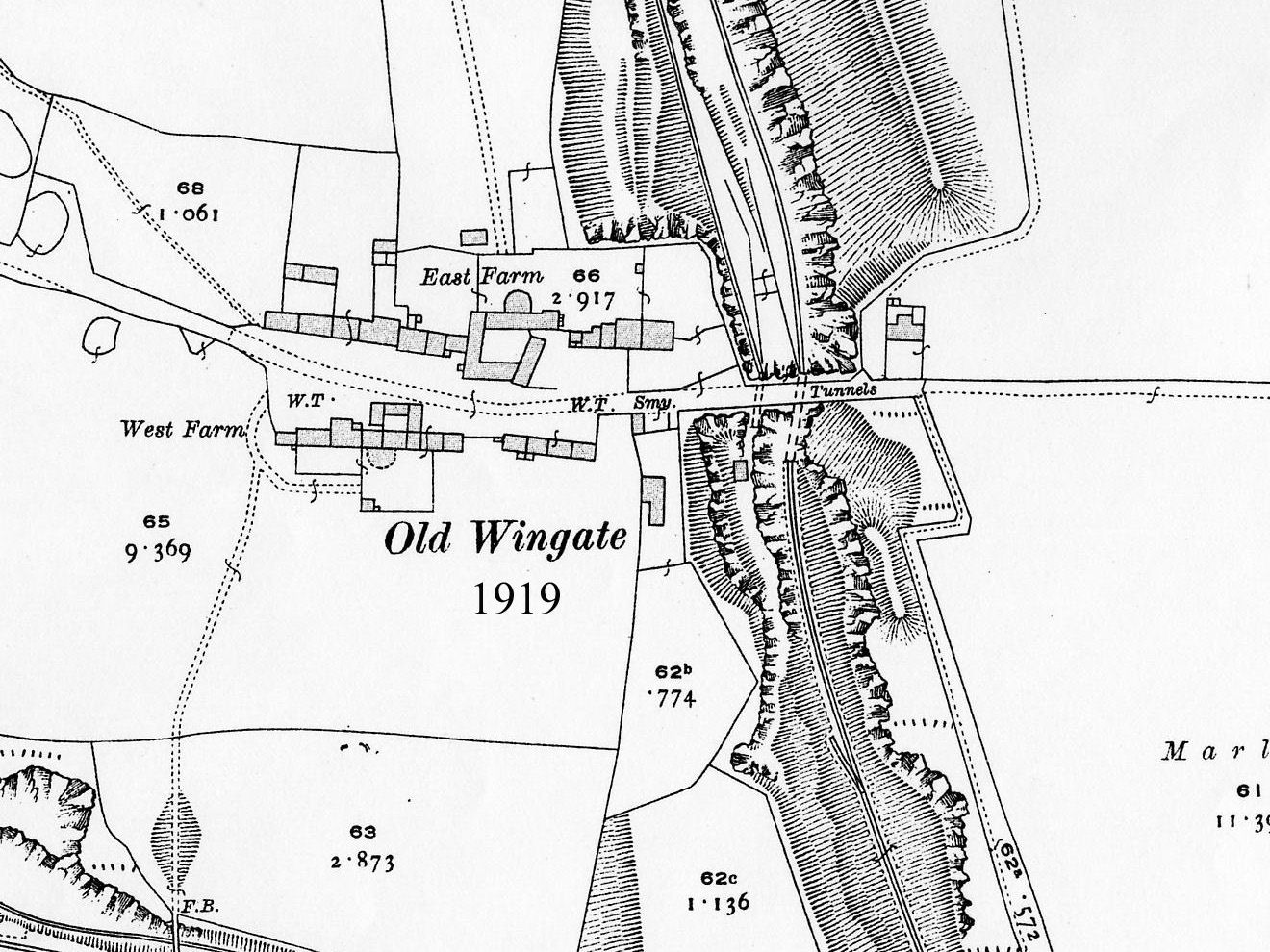
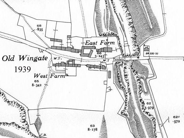
Following maps are courtesy of Alistair Mills and are based on copies of Ordnance Survey maps from the Durham Records Office in County Hall, Durham. (copied and utilized with their permission)